Elham Goumehei
Water resources management has been addressed in many studies. Yet the spatial and temporal dynamics of available water resources has been remained a challenge. The geo-information science provides an efficient tool for development and conservation of water resources. GIS DRASTIC model to estimate groundwater vulnerability, optical and Synthetic Aperture Radar (SAR) image analysis to map surface water resources are illustrations of developed methods in this dissertation toward monitoring system for sustainable water resources management. A contextual supervised algorithm based on Bayesian statistics was developed for mapping surface water bodies. The proposed model, complex Wishart Markov Random Fields (WMRF), combines Markov Random Fields (MRF) with the complex Wishart distribution. The novelty of this research is using Single Look Complex (SLC) SAR data. Complex values of SLC polarimetric SAR data were used to avoid speckle filtering, information loss and preserve the high resolution of SLC images. The proposed WMRF model has been compared to several classifiers such as Thresholding, Maximum Likelihood Classifier (MLC) and Random Forest classifier. The results show that our model outperforms the compared classifiers. The high accuracy of the proposed model indicates its robustness for calm water detection from SLC data. The strength of the proposed model is its high accuracy in classification of SLC polarimetric SAR data. It is reliable for differentiating classes with similar backscatters. In order to study temporal dynamics of water resources, a monitoring system has been developed. The results provide information of areas with water gain and water loss over time. The study in this dissertation provides a reliable tool to assist sustainable water resources management.
- Goumehei, E., Geravandi, Y., & Yan, W. (2016). A GIS-Based Study to Investigate Effect of Water Table Changes on DRASTIC Model: A Case Study of Kermanshah, Iran. International Journal of Environment and Geoinformatics, 3(2), 1–10. https://doi.org/10.30897/ijegeo.304476
-
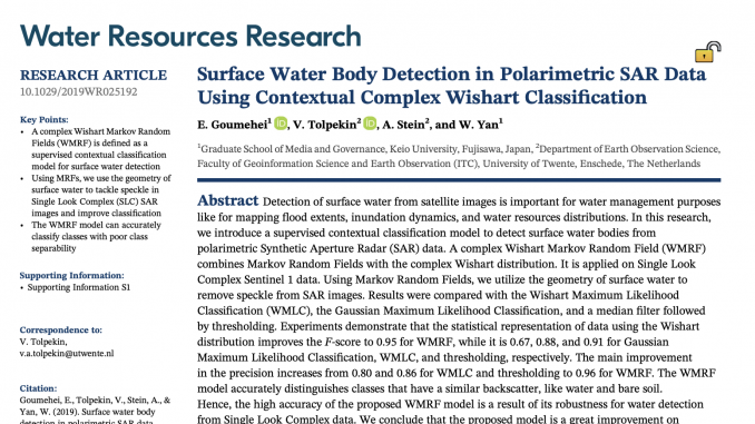
Goumehei, E., Tolpekin, V., Stein, A., & Yan, W. (2019). Surface Water Body Detection in Polarimetric SAR Data Using Contextual Complex Wishart Classification. Water Resources Research, 55(8), 7047–7059. https://doi.org/10.1029/2019WR025192